


crete arfugeyn

losjo
User
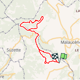

Length
18 km

Max alt
631 m

Uphill gradient
595 m
Km-Effort
26 km

Min alt
334 m

Downhill gradient
598 m
Boucle
Yes
Creation date :
2019-05-06 15:39:14.969
Updated on :
2019-05-06 15:39:14.969
6h35
Difficulty : Medium

FREE GPS app for hiking
 SityTrail
IGN / Geographical institutes
SityTrail Plus
The world is yours!
About
Trail Walking of 18 km to be discovered at Provence-Alpes-Côte d'Azur, Vaucluse, Le Barroux. This trail is proposed by losjo.
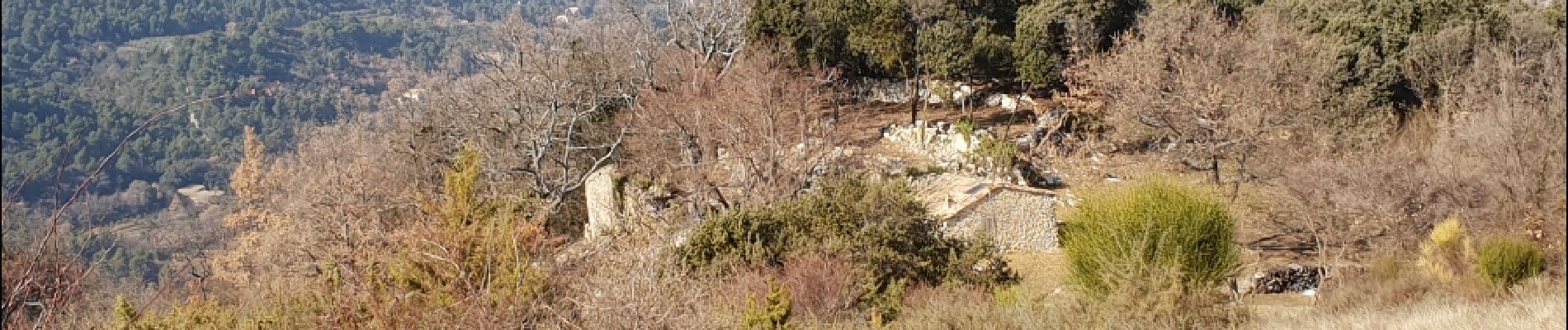
Photos


Positioning
Country:
France
Region :
Provence-Alpes-Côte d'Azur
Department/Province :
Vaucluse
Municipality :
Le Barroux
Location:
Unknown
Start:(Dec)
Start:(UTM)
669477 ; 4891469 (31T) N.
Comments